
MASS CENTRAL RAIL TRAIL; BOSTON-CAMBRIDGE:
SOMERVILLE COMMUNITY PATH:
RED LINE LINEAR PATH:
FITCHBURG CUTOFF:
BOSTON-CAMBRIDGE, MASSACHUSETTS
-BIKE IT OR HIKE IT-
Last Updated: July 23,, 2019
Length: Fitchburg Cutoff; 0.8 miles
Somerville Community Path/Red Line Linear Path; 2.2 miles
North Point Park; 0.3 miles
Difficulty: Fitchburg Cutoff; Easy. Flat, paved rail trail.
Somerville Community Path; Easy, flat paved rail trail.
North Point Park: Flat paved trail.
Directions:
To start from Alewife T-Station ("Hub"); From I-95, take exit 45 to Route 2 east to Alewife. Take the exit for Alewife Station Access Rd and park at the T-station's parking garage.
Or take the subways Red-Line to access this station. See; MBTA for more information. For information about taking your bike on the subway. See; MBTA/BIKES .
To start from the Russell Field Park parking lot (Red Line Linear Path); From I-95, take exit 45 to Route 2 (Concord Turnpike) east to Alewife. Stay on Route 2 (Alewife Brook Parkway) and just past the Alewife T-Station turn left onto Rindge Ave. The park will be on your left.
The Mass Central Rail Trail is a planned 104 mile trail from Northampton Massachusetts to Boston. It will follow the old Central Mass Branch of the Boston & Maine RR that ran between the two cities. The railroad split into two after the1938 hurricane shattered the line. The trail today exists in many unconnected sections and with differing surfaces. Starting from Northampton heading east the sections that are complete include the Mass Central Rail Trail; Norwottuck & Williamsburg Branch, Mass Central Rail Trail: Belchertown , Mass Central Rail Trail; Ware-Hardwick- New Braintree , Mass Central Rail Trail; Barre-Clinton , Mass Central Rail Trail; Wayland-Weston & Mass Central Rail Trail; Boston-Cambridge . For more information check out; MASS CENTRAL RAIL TRAIL & EAST COAST GREENWAY .
In Northampton the Mass Central Rail Trail is a "Spoke" for 3 Trails.
In Cambridge at Alewife T- Station, a stop on the commuter rail line into Boston is a "Hub" for 5 Trails (plus interconnecting Trails).
Heading West the Mass Central Rail Trail; Boston-Cambridge also known as the Fitchburg Cutoff, will eventually extend to Northampton.
Heading East the Mass Central Rail Trail; Boston-Cambridge also known as the Red Line Linear Path which becomes the Somerville Community Path, will bring you to North Point Park in Cambridge, where you may connect to the Boston Harborwalk; Charlestown and Charles River Bikeway .
Heading Northwest the Minuteman Bikeway brings you to Bedford, where you may connect to the Bedford Narrow Gauge Spur and Reformatory Branch Rail Trail.
Heading Northeast the Alewife Brook Greenway brings you to the Mystic River, where you may connect to the Mystic River Paths .
Heading South the Fresh Pond Bike Path brings you to Fresh Pond, where you can access the Fresh Pond Loop Trail and continue Southeast along the Watertown Branch Rail Trail to Watertown.
Starting from the end of the Minuteman Trail at Alewife T-Station ("Hub") in Cambridge;
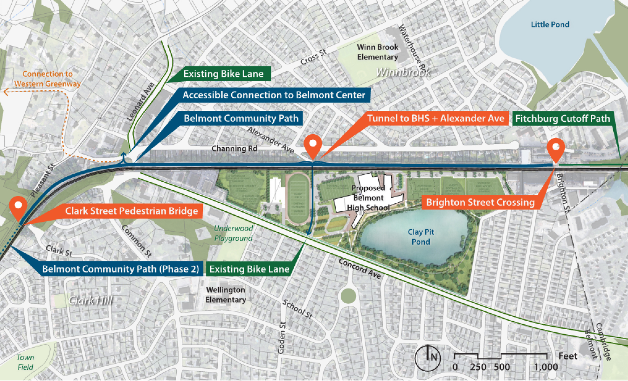
Heading West along the Mass Central Rail Trail; Cross Alewife Station Access Rd to the start of the Fitchburg Cutoff. A small community garden is located here. Cross the bridge and follow the open paved trail alongside the Alewife Reservation. To your right is a series of boardwalks that traverse the marshes that drain off the Little River. After 0.5 miles you come alongside the Fitchburg commuter rail tracks and follow them out to Brighton St in Belmont at 0.8 miles. Here the trail currently ends as of June 2023. Check out; BELMONT COMMUNITY PATH to see the planned route through Belmont and MCRT WALTHAM to see the planned route through Waltham.
Heading East along the Mass Central Rail Trail; Turn left and travel along the cantilevered boardwalk between Yates Pond and Alewife Station Access Rd. Cross the road to the paved Red Line Linear Path which travels behind the parking garage and station. The trail then turns left away from the station and travels underneath Alewife Brook Parkway.
Note; Continue straight behind the station for the Fresh Pond Loop Trail .
Continue right around the Red Line Station entrance. A HUBWAY is located here where you can rent a bike. This brings you out to Russell Field Park at 0.3 miles. Note the informational sign here. There are others located along the trail.
Note; If you head right it will take you past the swimming pool, playgrounds and restrooms to the Russell Field Park parking lot off of Rindge Ave.
Turn left and travel behind the bleachers, cross over Harvey St and you'll now be on the MBTA's Red Line corridor at a 0.5 miles. Another words, the Boston Subways Red Line runs directly below you and the trail utilizes the green space above it. This corridor was also originally part of the old Boston & Maine Railroad Line. This urban corridor is tree lined and park like although not very wide. When you come to the intersection of Cedar St and Mass Ave, you'll need to turn right along Mass Ave to reach a cross-light. Then turn left to return to the trail at Trolley Square. A HUBWAY is located here. Here the trail is briefly bricked lined with tables and benches. You'll pass by a lot for the city's electric buses on your right and cross into Somerville. This section of trail is referred to as the Somerville Community Path. The trail becomes brick lined again at 1.3 miles as you pass by some artworks on poles and come to the Davis Square T-Station. Cross over Holland St to Davis Square, where there are outdoor tables, places to eat, a Map Board and continue straight through and over College Ave. This takes you past another entrance for the Davis Square T-Station. Travel down a "closed to traffic" road, through a parking lot and you'll be back on the trail. This section of green space is wider and still tree lined. Cross Cedar St at 1.9 miles where the trail is wide with a separate jogging path. Travel underneath Lowell St where you overlook the RR track at 2.2 miles . A ramp leads up to Lowell St.
I haven't checked out this new section yet. The next Phase of the trail follows the MBTA's Green Line Extension. The path was extended in June 2023 from Lowell St along the GLX Medford Branch (Gilman Square, Washington Street stations) to the North Point/Lechmere Station area of Cambridge where the trail connects to North Point Park, the Boston Harborwalk and the Charles River Bikeway .
Starting from North Point Park; From the intersection of the Charles River Trail & North Bank Bridge (which takes you over to Paul Revere Park) head north along the the paved Mass Central Rail Trail. Travel underneath the highway ramp, past the Skate Park on your right and out to Education St. Head left to Education Circle, then right alongside the road. Travel underneath the Gilmore Bridge to Morgan Ave. This brings you to Cambridge Crossing Park. For more information check out; CAMBRIDGE CROSSING . Here the trail continues alongside Morgan Ave.
Note; Paths wind through Cambridge Crossing Park along your right.
Come to N First St after 0.5 miles. Here the trail follows the Somerville Community Path (part of the Mass Central Rail Trail) along the new MBTA's Green Line Extension. I haven't checked out this new section yet.
HH
CLICK HERE FOR ALEWIFE STATION SPOKE TRAIL MAP
CLICK HERE FOR MASS CENTRAL RAIL TRAIL MAP
CLICK HERE FOR REGIONAL BIKEWAYS MAP
CLICK HERE FOR GREATER BOSTON BIKE NETWORK
CLICK HERE FOR OLD MASS CENTRAL RR MAP
BEFORE YOU SET OUT BE SURE TO READ THE
WAIVER OF RESPONSIBILITY AND DISCLAIMER
BIKE IT OR HIKE IT